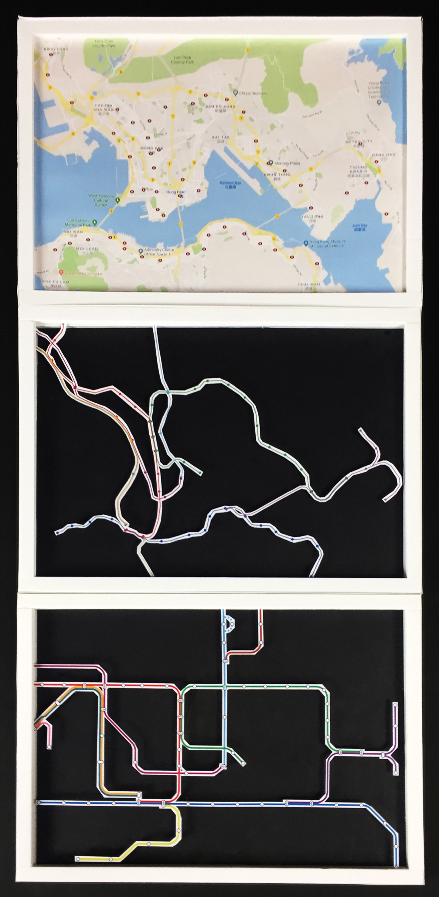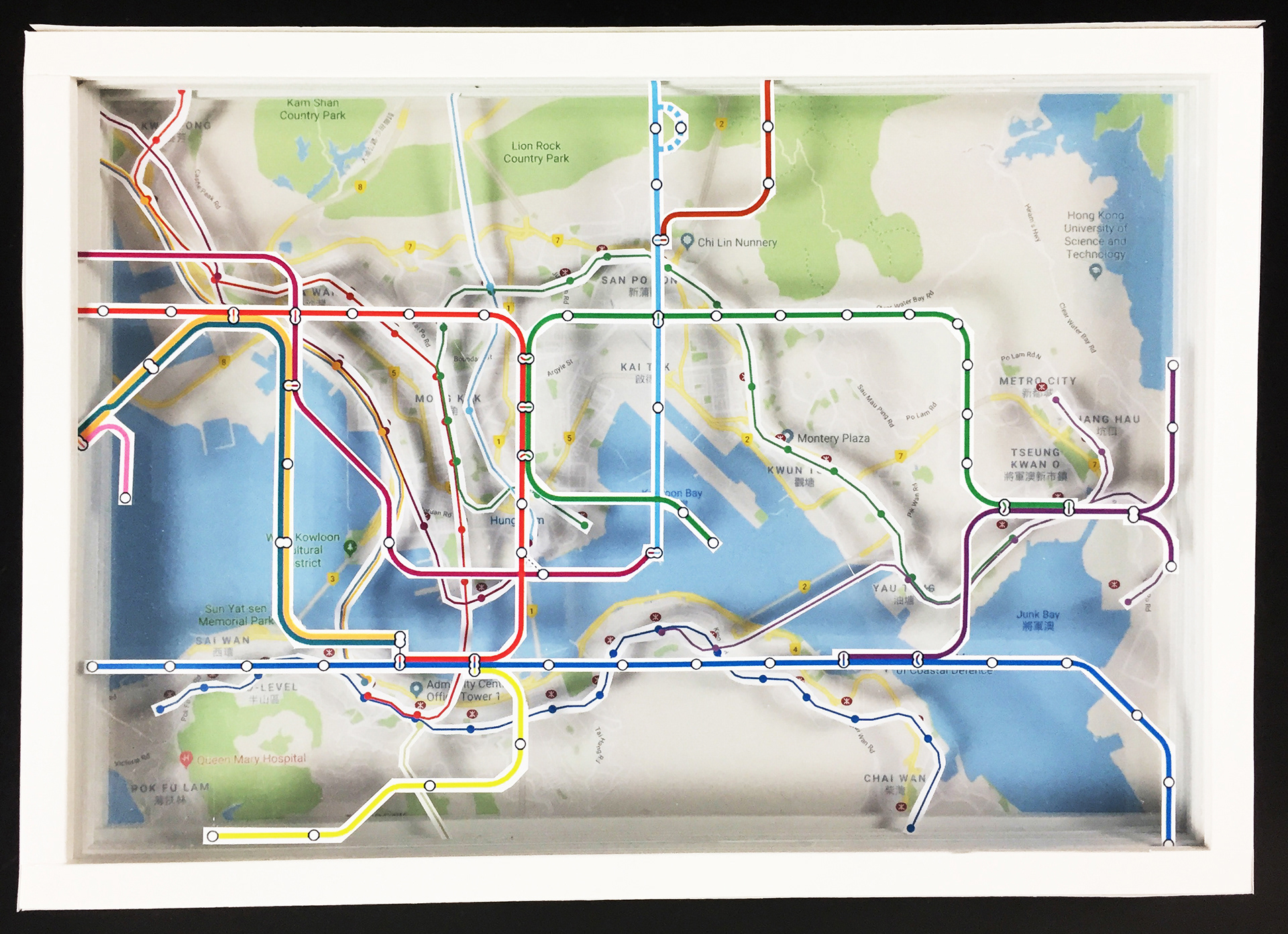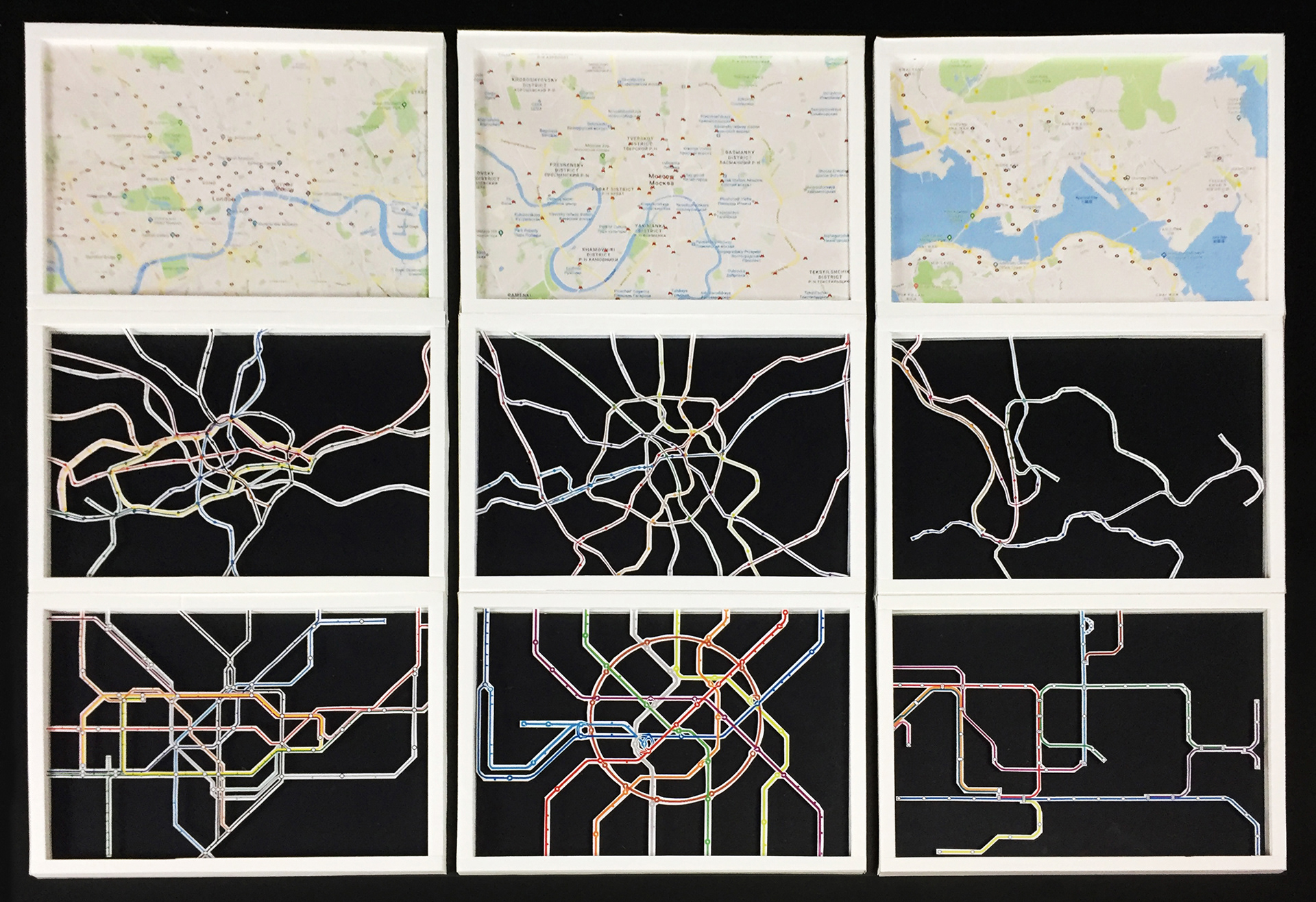
The journey of travelling by metro starts with the metro maps. Looking for stations at the destination is the initial step of wayfinding in the journey. This project demonstrated the steps of wayfinding in a city scape by using the metro maps of London Underground, Moscow Metro and Hong Kong MTR.
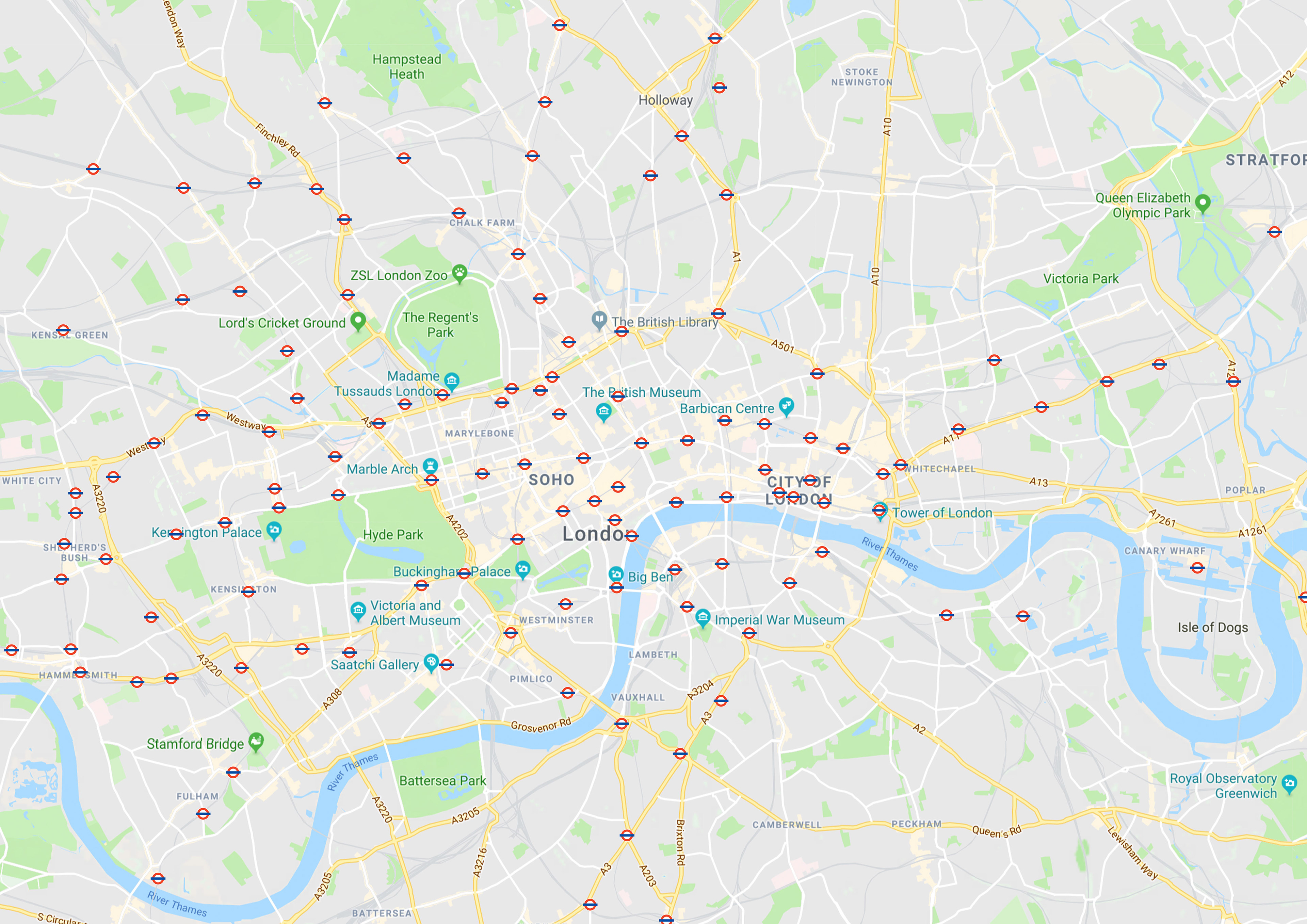
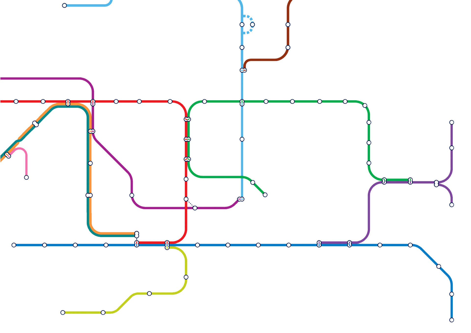
1. The symbols of London Underground show the location of the stations, that help travellers to not only locate themselves in the system but also to figure out the distance to their destination by stations.
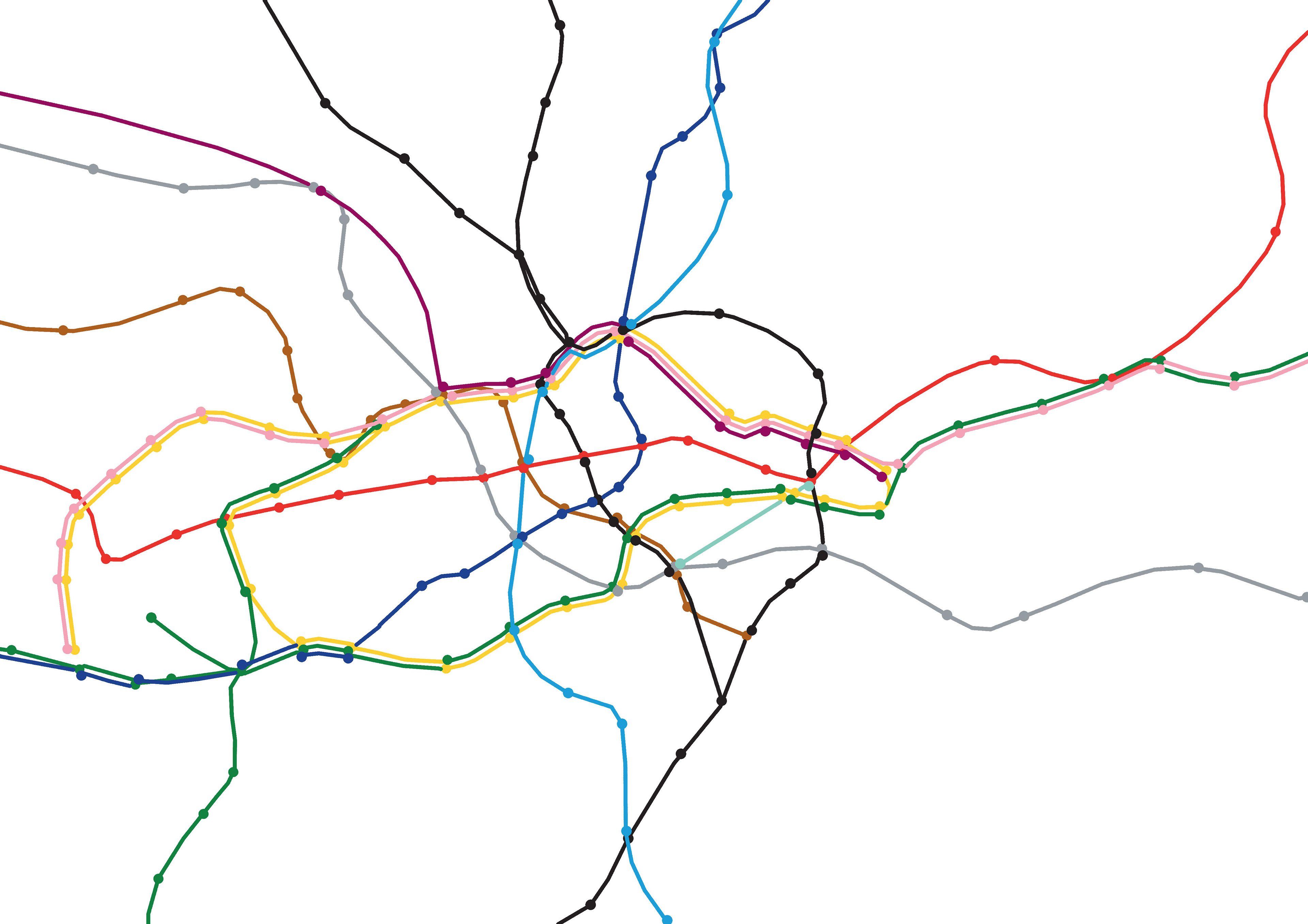
2. The colours of the lines gave an identity to each line, travellers can find their destination station by identifying the colours of the corresponding lines first.
3. The diagrammatic metro maps are simplified by setting the scale aside to accommodate the whole network and containing only horizontal, vertical, and 45 degree diagonal lines.
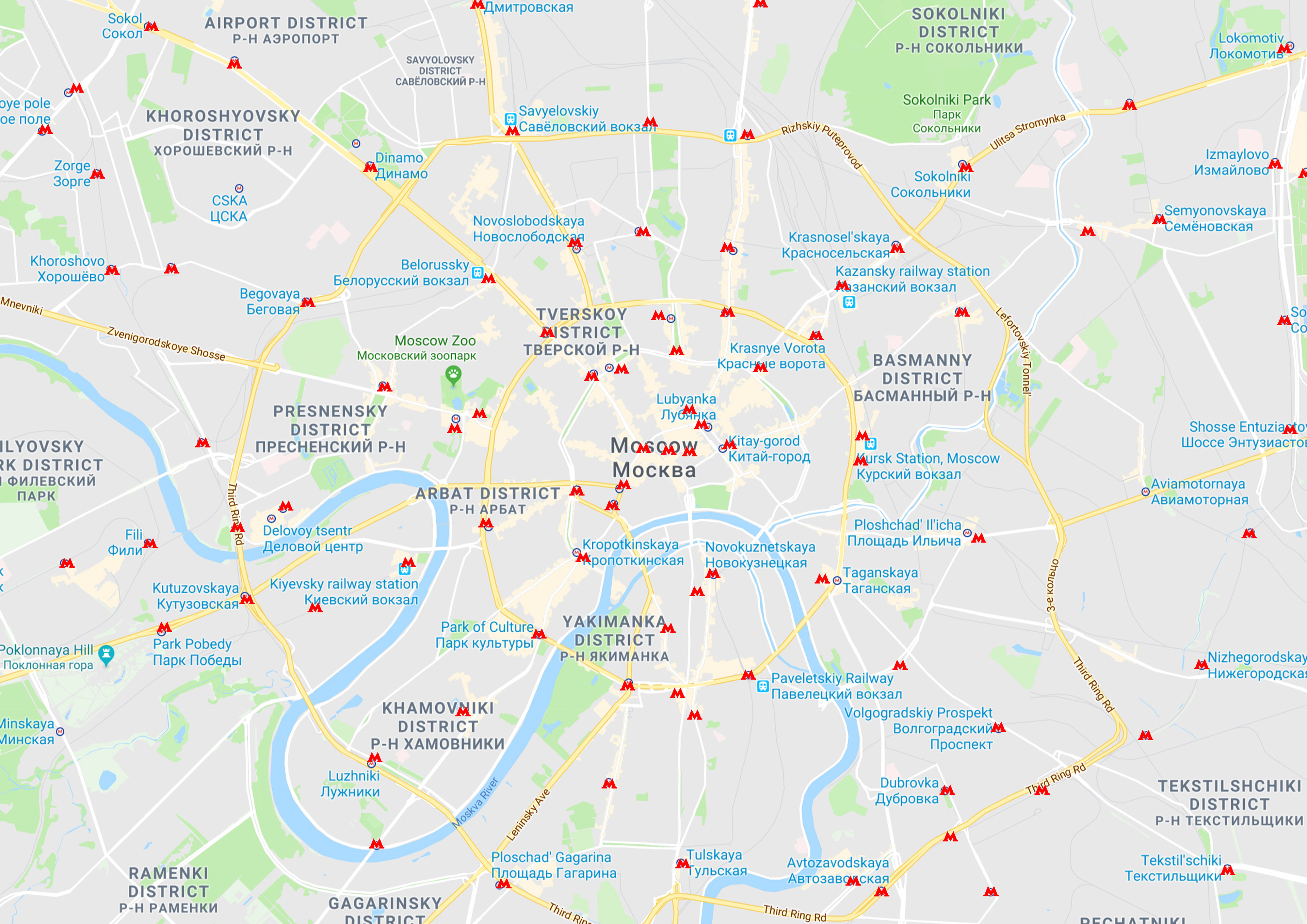
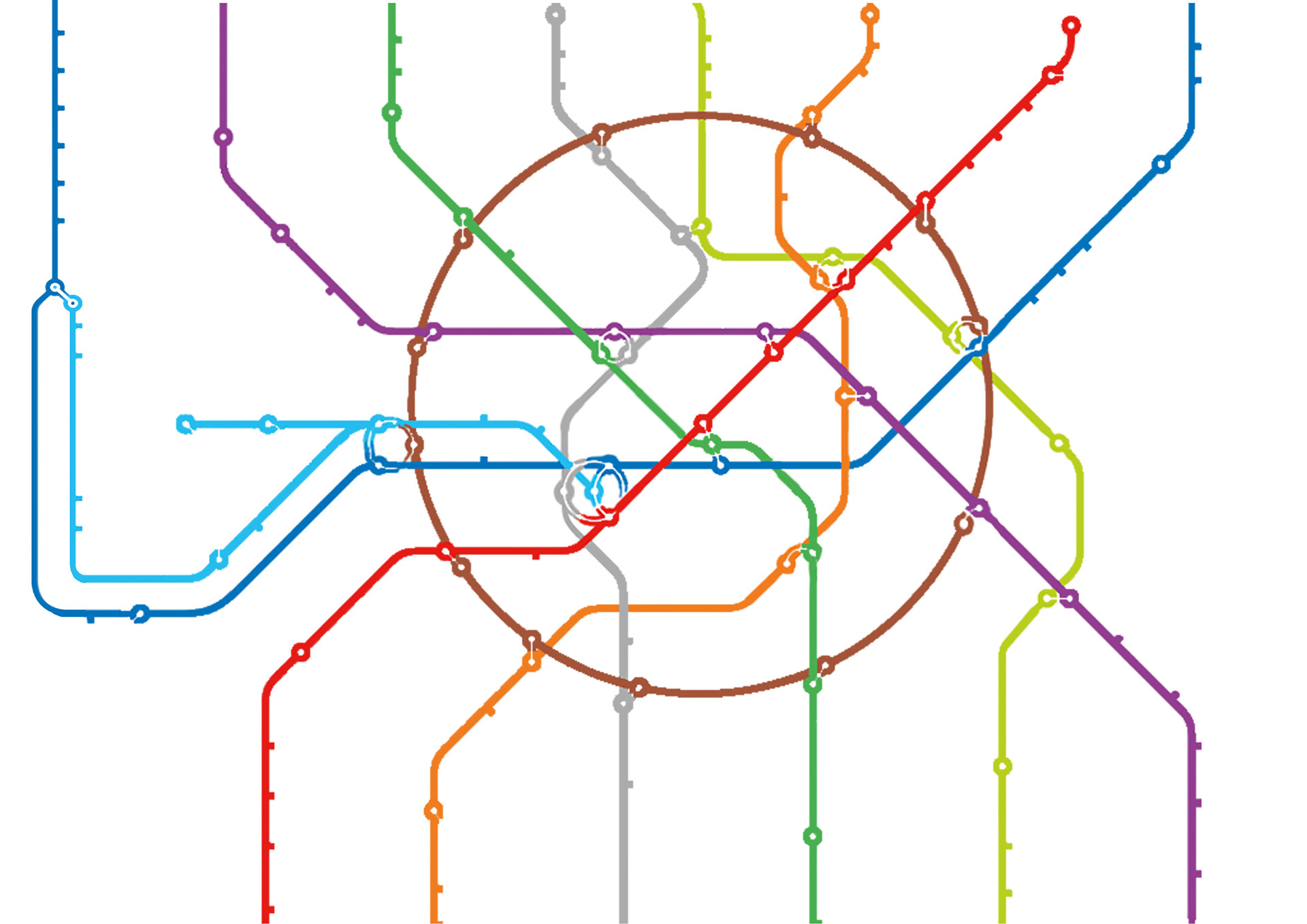
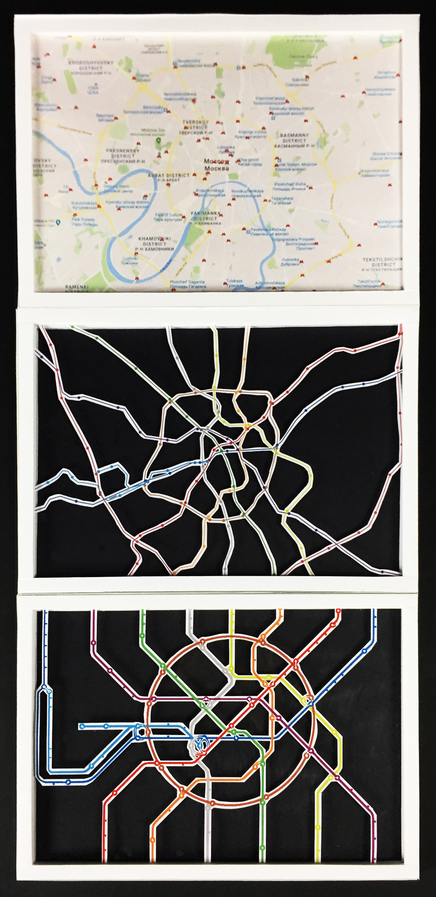
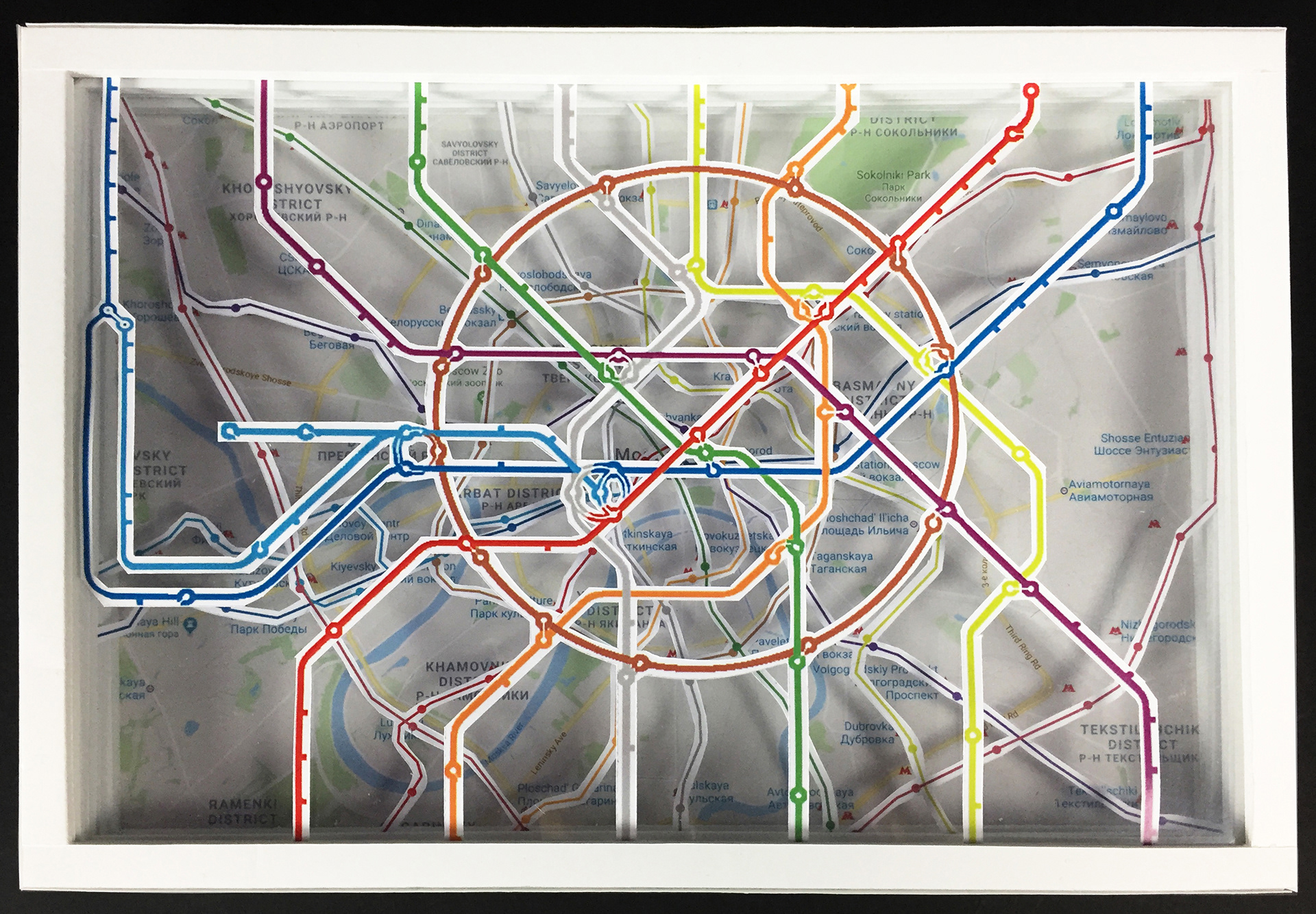
Moscow Metro
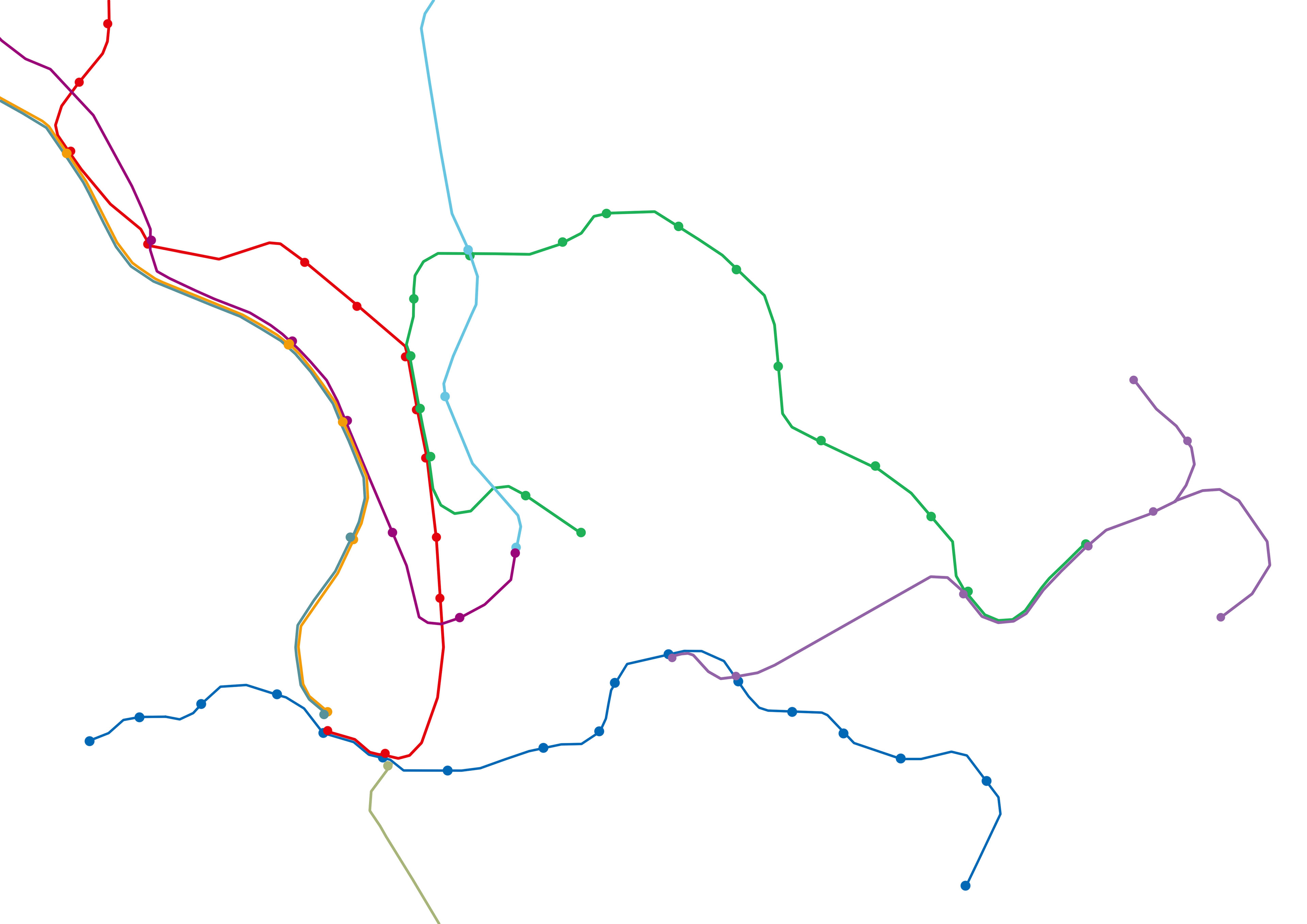
Hong Kong MTR
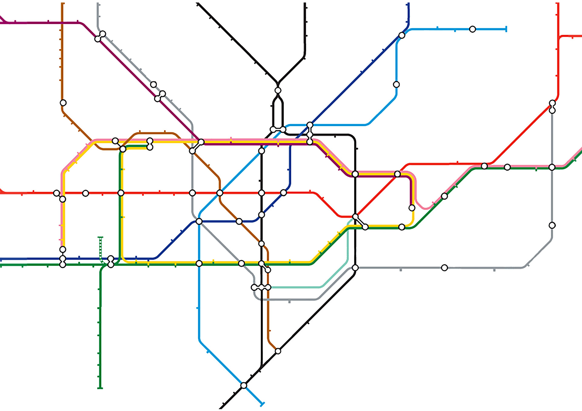
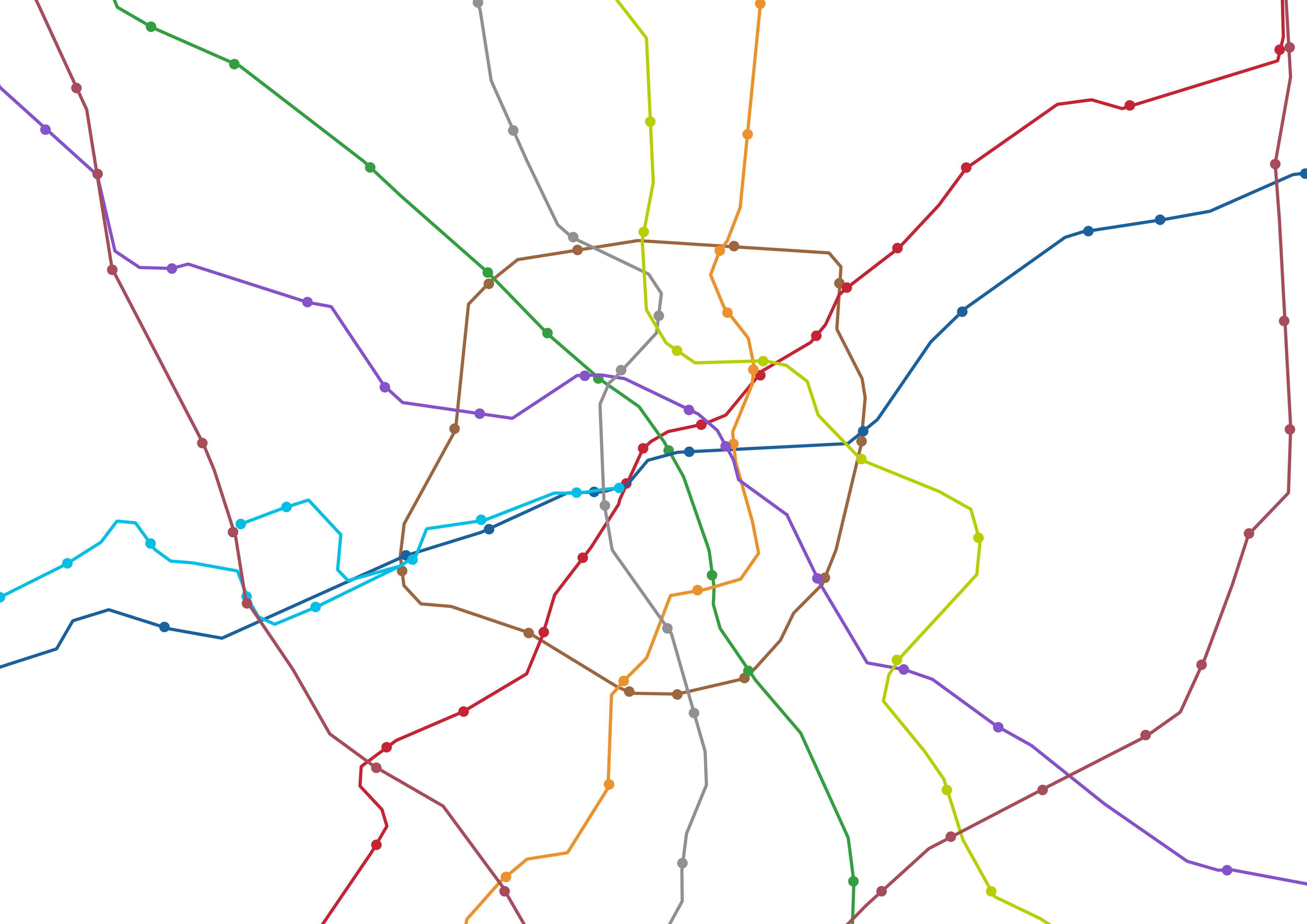
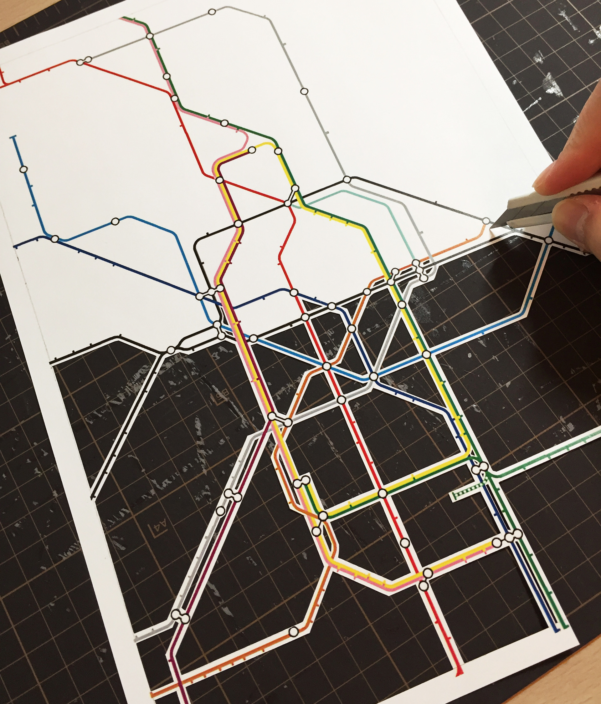
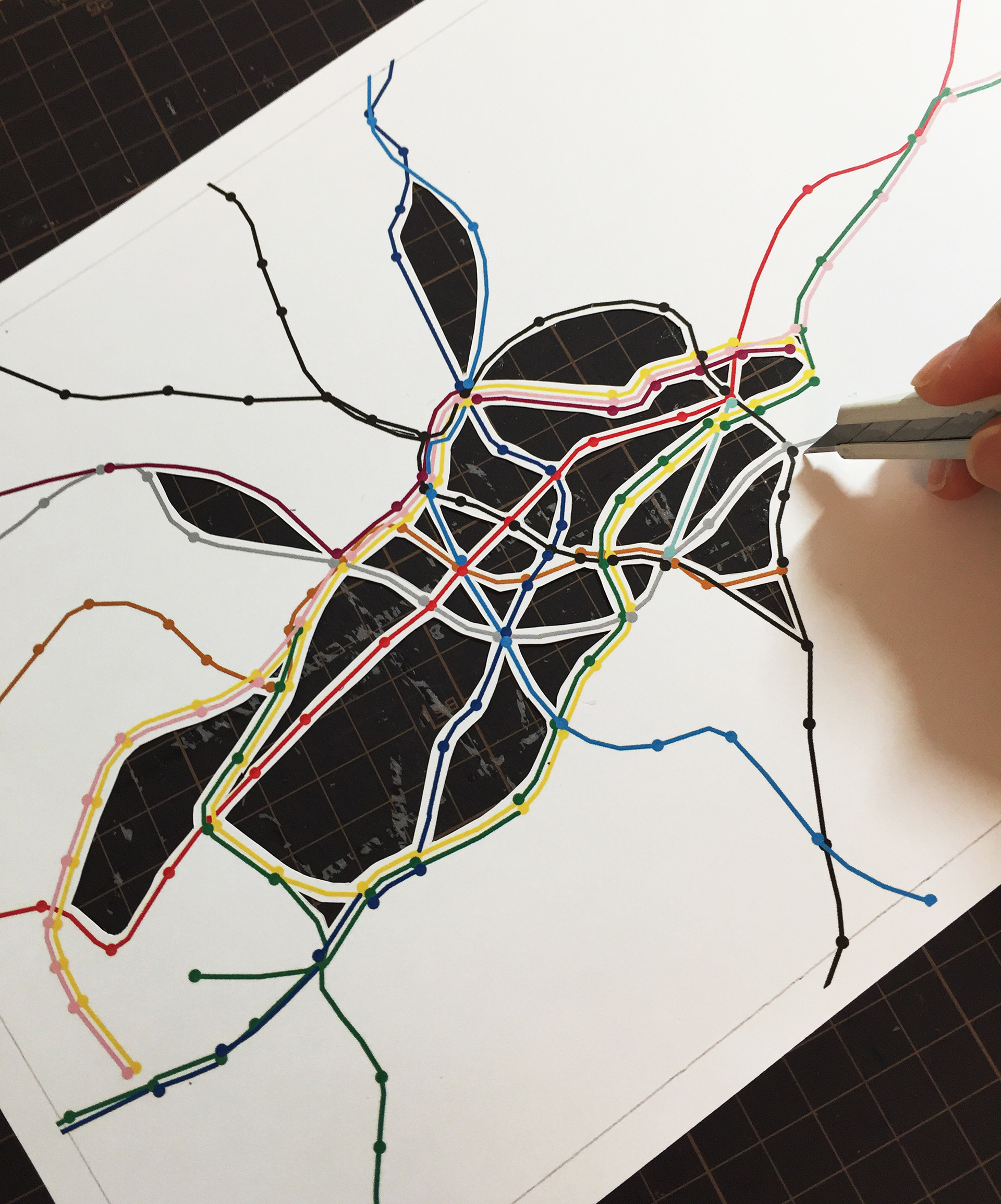
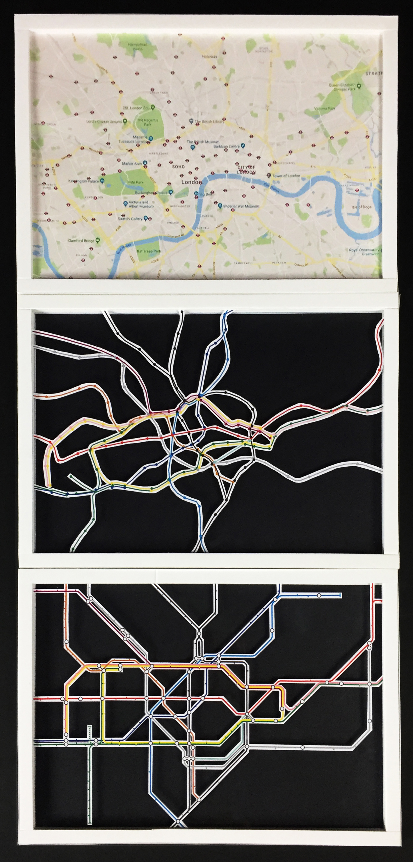
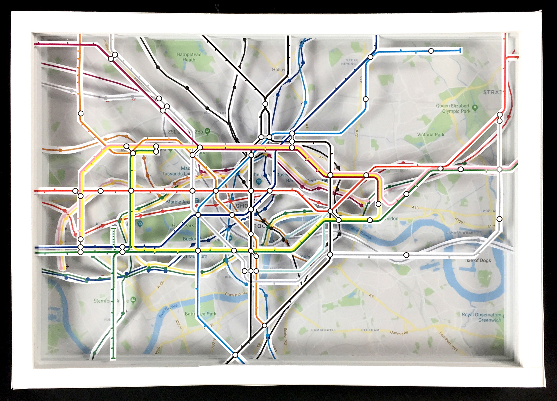
Layered models are made to investigate the difference and changes brought by simplifying metro maps.
London Underground | 1863 | 11 lines
Moscow Metro | 1935 | 12 lines
Hong Kong MTR | 1979 | 11 lines